

0
Owner's of the Humminbird Fish Finder 409010-1 gave it a score of 0 out of 5. Here's how the scores stacked up:
123
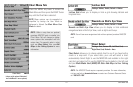
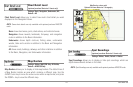
Chart Menu Tab
Chart Detail Level
(optional-purchase Navionics® charts only)
Settings: Basic, Navigation, Underwater, All;
Default = All
Chart Detail Level allows you to select how much chart detail you want
displayed on the Navigation Views.
NOTE: Some chart details are only available with optional-purchase MMC/SD
cards.
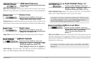
Basic shows land areas, ports, obstructions, and restricted areas.
Navigation shows navaids, landmarks, ferryways, and navigation
routes in addition to the Basic information.
Underwater shows depth contours, fishing areas, underwater
wrecks, tides and currents in addition to the Basic and Navigation
information.
All shows roads, buildings, railways, and other notations in addition
to the Basic, Navigation, and Underwater information.
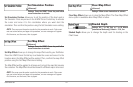
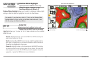
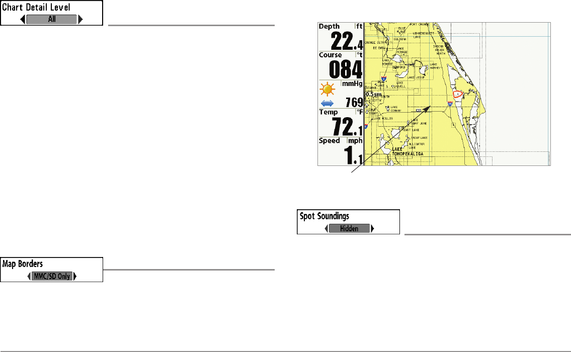
Map Borders
Settings: Hidden, MMC/SD Only, All Visible;
Default = MMC/SD Only
Map Borders allows you to display or hide map borders. The dotted lines of
a Map Border indicate an area which contains a different map. Use the
4-WAY Cursor key to move the active cursor within a map border, and press
the ZOOM + key to view the different map.
Spot Soundings
(optional-purchase Navionics® charts only)
Settings: Hidden, Visible, Default = Hidden
Spot Soundings allows you to display or hide spot soundings, which are
depth measurements shown on the chart.
NOTE: Spot Soundings are only available with optional-purchase MMC/SD cards.
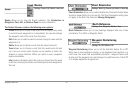
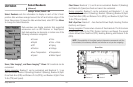
Map Borders
Map Borders, shown with
Optional-Purchase Navionics® Cartography


Find Your Products By Category
- Computer Equipment
- Portable Media
- Photography
- Car Audio and Video
- TV and Video
- Household Appliance
- Automotive
- Communications
- Kitchen Appliance
- Laundry Appliance
- Home Audio
- Lawn and Garden
- Power Tools
- Musical Instruments & Equipment
- Baby
- Personal Care
- Video Game
- Marine Equipment
- Fitness & Sports
- Outdoor Cooking
- Cell Phone
Please Login
